Around 11 miles with about 2800 feet of elevation gain.
We left our lovely B&B and headed down past the local pub (where we had eaten dinner the night before)...

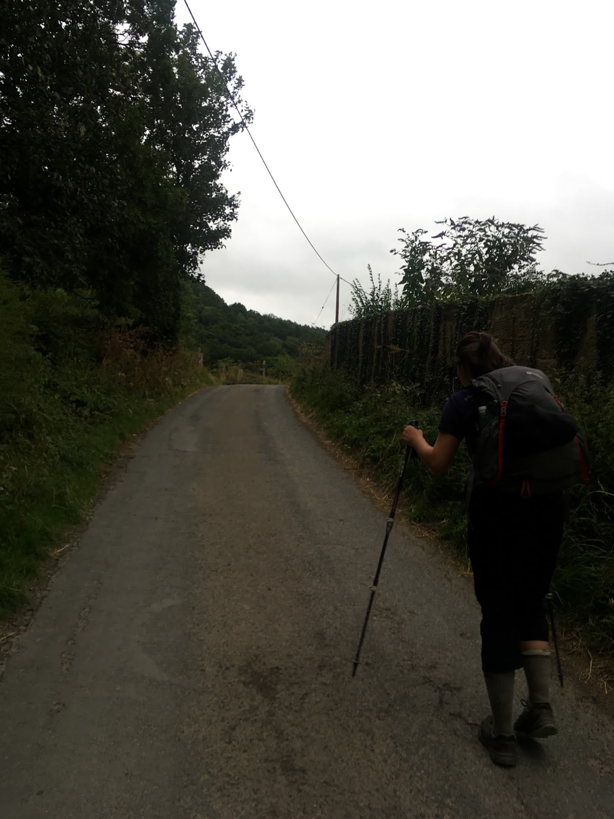
...and continued along a country road that gradually headed up.
There were literally around a hundred red grouse (not to be confused with the fearless and sometimes troublesome spruce grouse of the NH White Mountains) waddling along the road. They were on the path, in the trees, and flying in and out of vegetation for about a tenth of a mile along our route.


The girls and I were talking and walked right past a sign for the Cleveland Way. The C2C shares its route with the Cleveland Way here, and there is a sign right at an intersection...and the girls and I walked right past it and into a cow field.

After the field, we were back on a country road...and then we realized we must have missed our turn. A kind fellow who was taking his dog for a walk let us know that we could take a shortcut up a hill and through a churchyard to get back on the C2C. We followed his directions...


The church is at the end of the road above. From there, we thought we followed his advice and used our compasses to get our directional bearings, but we ended up on top of a giant hill going through private farm property. The guidebook showed the C2C passing by an electrical tower area, and we thought we could see the tower from where we were walking/trespassing, so we continued onward, sliding under live electrical wire fences and carefully getting over barbed wire. We took great care not to disturb or damage anything, and we were lucky that none of the fields had bulls....we weren't far from the towers when the same man called to us from our left. Over another fence, there was the path (hidden from our view by trees). The man had ended up walking along the C2C with his dog and heard us talking -- he directed us toward the right path with his voice. **As an aside, since this was a man we didn't know and we were out in the middle of nowhere, our guards were up and our hands were on what we bring with us for self-defense...he ended up just being a nice guy who wanted to help, but I want to include this statement as a way to remind other hikers...especially female ones...to be on guard just in case.**
We found his voice and walked behind him and his dog as they continued toward the electrical towers. Once we were at the towers, he turned back homeward and we continued. The path went down a hill and entered this beautiful scenery...


We had no more route-finding issues the rest of the day.
Along we went, through fields and on paths and up hills and across heather-clad moors. I'll let the photos do (most of) the talking now...


From here, we went down to the bottom of the hill and stopped in at a touristy cafe that's located right along the trail. The prices are trendy-expensive, but I bought some iced cookies for the girls and me anyway.

After the cafe, we headed up another hill. At the top, there is a seating area...it was occupied by a bunch of teens who had just hiked up from the cafe. We carefully took photos around them so as not to get them in our pictures, then continued along the top of the hill...


Walking high up among the heather was a wonderful experience. :)

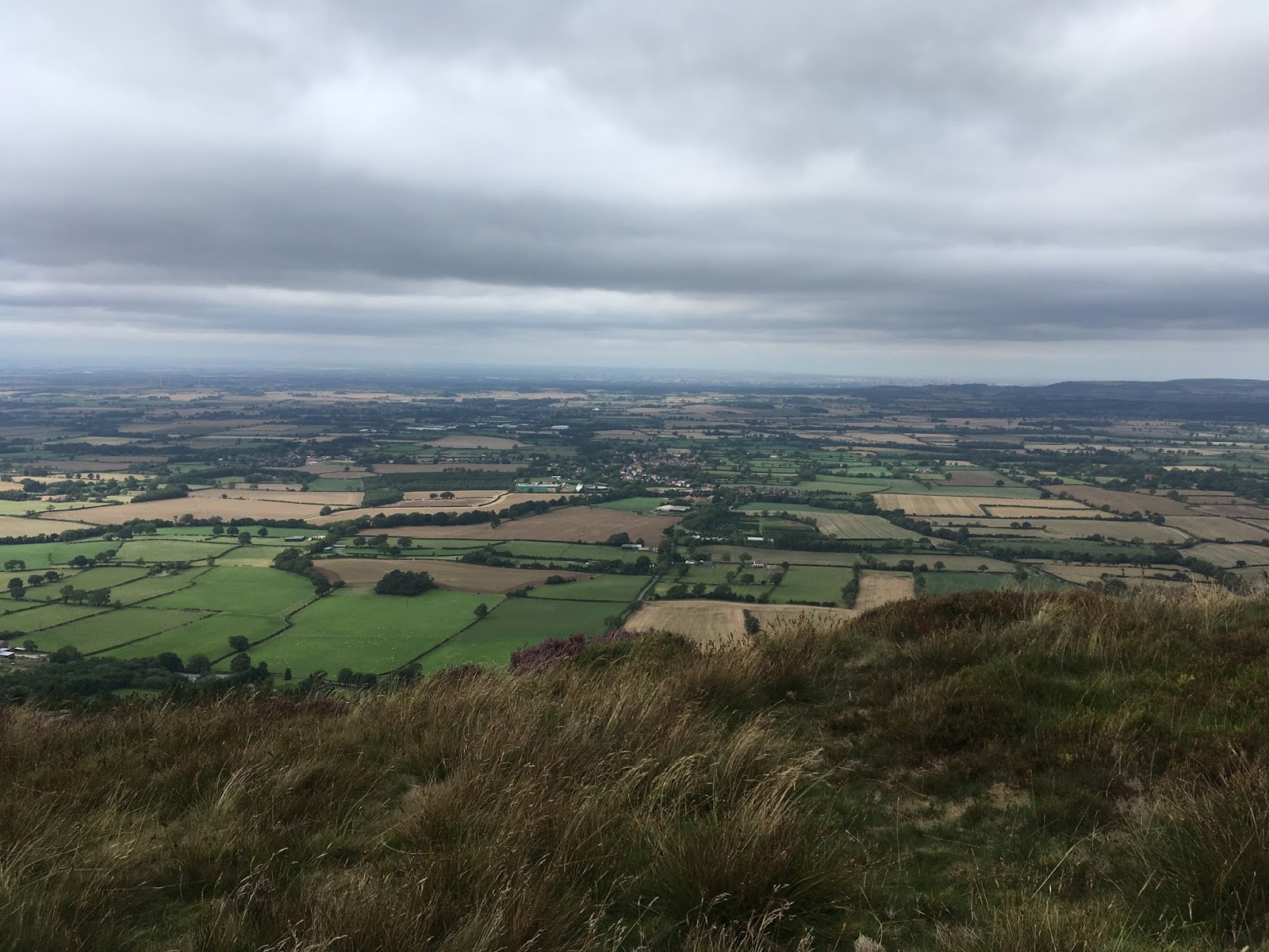
One more down (from this hill), and then back up, this time over the Wainstones (an outcrop of sandstone).


View from the top of the Wainstones...
There's decent cell reception up there -- I called our hotel and let them know we'd be at the parking area in fifteen minutes or so...they do pick-ups there and had previously told us to call them when we got to the stop of the Wainstones.

From here, we walked to a parking area just beneath the hill and waited for our ride to the hotel.
Next post: Clay Bank Top to Lion Inn.
No comments:
Post a Comment