Showing posts with label Rosthwaite. Show all posts

Monday, October 8, 2018

August 10, 2018. Day Three: Rosthwaite to Patterdale (with a quick stop at Grasmere)

August 10, 2018.  Day Three: Rosthwaite to Patterdale (with a quick stop at Grasmere)

The first thing I did when I awoke was email our host at Noran Bank Farm to let her know we might be arriving on the late side.  It was to be at least an 18-mile day with over 3000 feet of elevation gain, plus we wanted to take the half-mile detour into Grasmere to get some gingerbread from the 150-year-old shop.

After eating another hearty breakfast of eggs, sausage, beans, mushrooms, toast, and juice, off we went.

The walk out of Rosthwaite was straightforward, though it rained on us.


Sheep!  Always sheep everywhere, even when you aren't expecting them...


Route-finding wasn't a problem as the path turned and headed up
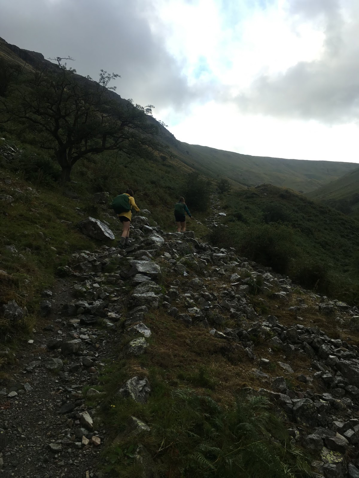


The rain increased as we headed past waterfalls and up Lining Crag.  This was good hypothermia weather, but I took off my raincoat anyway as I was heated from the climb.  The girls wisely left their raingear on and kept checking on me throughout the next couple of miles to make sure I was okay.  I was getting soaked, and the wind was picking up, and had I been on my own, I would have not removed my rain gear.  Since I was not alone, and since the rain felt good to me, and since I had plenty of dry clothing and fleece in my pack should I need to quickly don them, I continued hiking in the rain and allowed myself to get wet.  The risk was worth taking given my dry companions (who would have forced me into fleece and raingear had I showed any signs of hypothermia).


Looking back down toward Rosthwaite 


Soaked and happy me

The scenery up here was beautiful.  The guidebook warns that some lose their way at this point, but there were easy-to-see cairns when we were there, and the paths and fence posts were clearly visible in spite of the wet weather.  We followed the directions in our guidebook and continued onward, over the rolling tops of hills and through a green and bumpy landscape.
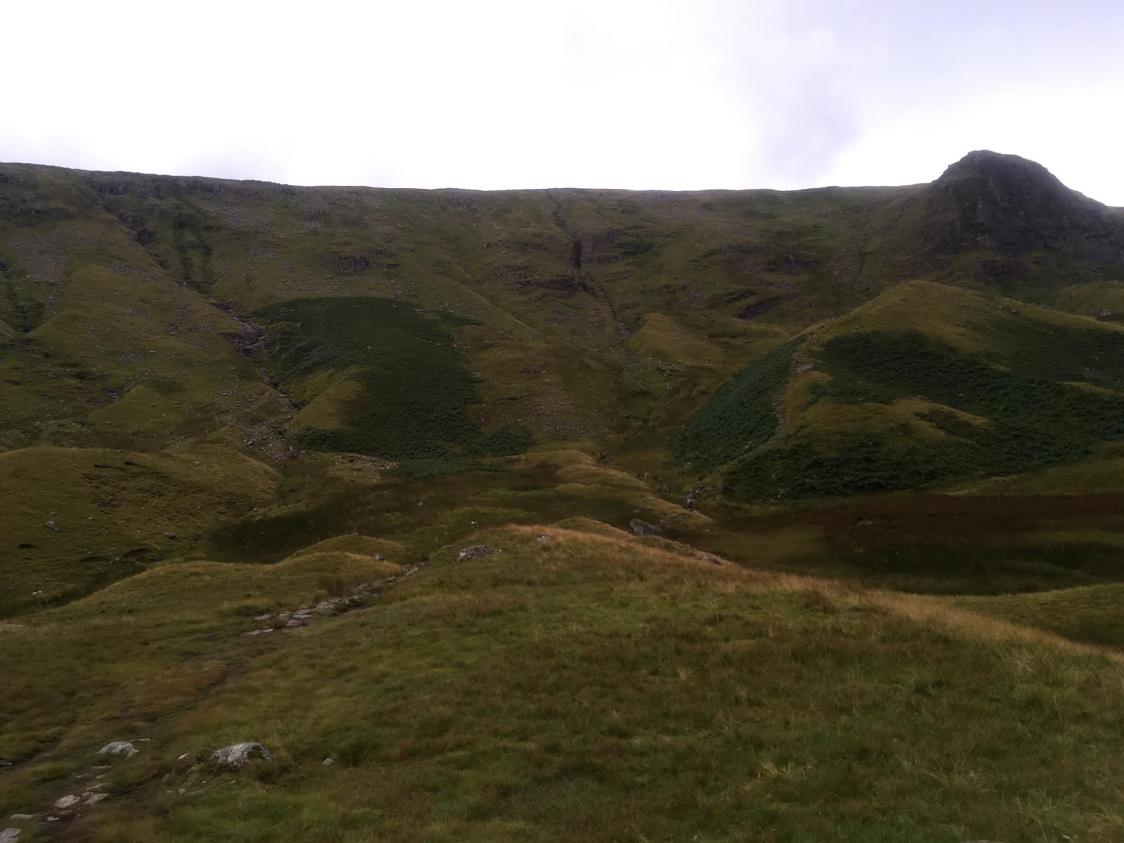


Note the photobombing sheep


We reached the junction where one can either descend via the valley route or continue along the high route.  The rain had mostly stopped at this point, and the crags on the high route, according to our guide book, didn't have crazy steep and dangerous bits, so we chose the high route.

The high route goes over Calf Crag, Moment Crag, Gibson Knott, and Helm Crag before steeply dropping into the northwestern bits of Grasmere.  The crags didn't require much climbing; they were short and moderate ups, and the views were gorgeous, so we were quite happy we chose this route.


After the descent, we followed the Coast to Coast (there are shortcuts after you descend into Lancrigg if you want to skip Grasmere...we stuck to the regular route) and then took a walking route half a mile into Grasmere.  You can also follow the road according to the guidebook, but the walking paths are signed and easy to find. 

I don't have photos of Grasmere itself, which is a shame.  The experience was a bit odd -- we came down from all those rolling hills and crags, then took a suburban walking path and ended up right in the middle of tourist-central.  Grasmere is a pretty little town with tons of shops...and tons of tourists, many of whom had arrived on buses.  We used the town map within our guidebook to quickly walk through the narrow streets until we found the gingerbread shop.


There was a line out the door and the place looked small, so I sent the girls in with money while I waited outside and guarded our backpacks.  I told them to get enough for two or three hiking days worth of lunches and snacks.  They did, and apparently the salespeople were surprised at how much they bought, lol.  This gingerbread has to be consumed within a week, and they bought so much (six full packs...most people buy one pack) the salespeople were sure the quantity wouldn't get eaten before it spoiled.  The girls said they kept getting asked if they were sure they wanted to buy that much.  They also bought a bunch of fudge.


The girls bought six packs of the above


We downed the first of the six packs, plus one pack of fudge (the girls had bought three) right there outside the store.  That was lunch.  We'd go through a second pack of gingerbread later in the day, and the rest was eaten over the following two days.  When you hike every day for miles and miles over giant hills/small mountains, you burn off gingerbread and fudge pretty quickly.  :)


After demolishing our lunch (and sharing some crumbs with a beautiful and large raven), we walked back through Grasmere and took the walking path back to the C2C.  Then it was once again just us, the sheep, and the hills.


Up we went, toward Grisedale Pass and Grisedale Tarn.  The path splits at one point and goes around the Great Tongue, which is a bit of land that likely looks like a tongue if you could see it from above.  We took the right path -- it doesn't matter which way you go, as both paths join at the top of the Tongue.


Grisedale Tarn

From Grisedale Tarn, a hiker has three choices.  She can go all the way up to Helvellyn, which is an experience described as a dangerous knife-edge with spectacular views -- this would have been ideal IF the weather had been dry.  However, since it had rained all morning, and since the guidebook and everything I had read online describes Helvellyn as a perfect-weather-only experience (think the Knife Edge on Katahdin), and since we had already done the high route of the bits before Grasmere, we decided not to go up Helvellyn.  We were all a bit disappointed since Helvellyn is the kind of thing that is usually right up our alley, but we decided it would be too risky with wet slabs and boulders.  The second choice is to go up St. Sunday Crag, which looks pretty straightforward according to the guidebook.  We decided not to go up that route either.  It would have been fine with the weather (I don't think everything needs to be dry for that route), but at this point, if we weren't going to do Helvellyn then we just wanted to head for our night's destination.  So down we went, using the third choice, which is just a descent into Patterdale.

The tarn is where you make your choice as to which way you wish to continue
The descent was easy, and we arrived in Patterdale and stopped by the post office...which was also a convenience store.  We ate sandwiches, chips, and a package of gingerbread.


Patterdale scenery


From here, we walked a half mile or so off the Coast to Coast to our home for the evening, Noran Bank Farm.  We arrived around 7pm.


Next post: Day Four: Patterdale to Shap (15 1/2 trail miles, plus probably a mile or two of getting lost...)

Friday, September 28, 2018

August 9, 2018: Day Two. Ennerdale Bridge to Rosthwaite via the High Route.


August 9, 2018: Day Two.  
Ennerdale Bridge to Rosthwaite via the High Route.  
Just over 15 miles with around 2900 feet of elevation gain.

The guidebook warns that this is one of the rainiest portions of the Coast to Coast, but we lucked out and had a bright, sunshiny day.  So sunshiny, in fact, that all three of us ended up with major sunburns in spite of our sunblock.

This day was one of my favorites -- the high route reminded us of ridge walks in the White Mountains.  If you do the Coast to Coast, definitely do the high route unless weather dictates otherwise.  You've come all this way, so get your money's worth!  The scenery is drop-dead gorgeous and rivals anything we've ever done (and we've done quite a lot).

A warning: The owner of the Shepherds Arms informed me that if a hiker does not show up by 7pm at their reserved B&B, then the owner often calls Search and Rescue.  This is important if you're the kind of hiker that plans very long miles in a day and figures they can arrive at their destination in headlamps, no problem.  Therefore, if you are planning a very long day (we had a 23-miler in our schedule), email and/or call your B&B the evening before or the morning of your reservation and let them know of your plans...otherwise, you might find you're the subject of a Search and Rescue when you absolutely did not need Search and Rescue! 

After a hearty breakfast of eggs, sausage, beans, mushrooms, tomatoes, toast, and coffee (standard B&B fare, which is wonderful and glorious), we set off from the Shepherds Arms and headed toward Ennerdale Water, a giant lake with paths around both its southern and northern shores.  The guidebook warns that the main route (the southern path) floods during periods of heavy rain, but we had no such issues on this dry and clear day.

The way to Ennerdale Water involves country roadwalking, with a few twists and turns.  Pay attention to your guidebook and you'll be fine.


Heading along the southern path...


This bit is straightforward; follow the path along the lake.  There is one rocky bit that involves minor scrambling -- it's called Robin Hood's Chair, and it looks like this...


Where Sage is standing (below) is the "chair" section, which is a part where one can sit and lean one's back against the upper bits (where Alex is descending above) and dangle one's legs down the lower bits (where Sage is about to descend below).


After that, it's more walking along the lake until you run out of lake, and then it's across a field...


...where you can turn around and look back at the lake...


...and then you take a left and walk between two stone walls, turn right, enter a forest and walk along a wide dirt road, and then....choose your path.  You can continue along the forest road for miles until you finally start to go up just a bit above treeline, or you can choose the high route, which mimics our beloved White Mountains and rewards the hiker with ridge walks and gorgeous views (provided you have good weather).  In horrible no-good very bad weather, stick to the forest road.  Otherwise, up you should go.

The entrance to the high route off the forest track is a bit confusing.  I don't have a photo of it, but remember it is after you pass YHA Ennerdale and immediately PAST the gate which is by a little building which is kind of hidden in the woods on the left. The current guidebook's map shows the path starting before that gate -- that is not correct, it is just AFTER the gate.  So save yourself some wandering about in the woods looking for it...just go past the gate and you should see the trail on the left.

Pay attention to your guidebook on the way up, and look for the cairns.  The first ascent, and the one which of course requires the greatest elevation gain, since you are ascending from the valley, is Red Pike.


Looking back while ascending...


Up up up...


View of Ennerdale Water behind us...you'll feel proud of yourself knowing you hiked the entire length of that earlier that morning...and at this point, you have only just begun your day's mileage.


Views views views!


We got to the top and sat for a few minutes before moving on to High Stile, the next (and higher) peak. 


It's a short and moderate ridge walk to High Stile.  The photo below makes it look like one has to walk a long way...it feels very short when you actually do it, though.


Looking back at the girls


The last push
Views from High Stile...


Here come the girls


This was a great place for lunch.  We again ate yummy food that had been prepared for us by the folks at our last B&B. 


After half an hour of happy lounging, we moved on toward High Crag, which was a peak lower down.


From here, it was a STEEP descent over loose gravel (not shown in the photo below, but just past the rocks and grass in the forefront).  This descent would be extremely difficult in wet weather...might have to go down on your bottom and hope you don't slide out of control.


From the bottom of the col, it was up a bump, down a bump, and then up some steep scrambles to Haystacks.


Haystacks has a flattish top with a few minor scrambles.  If you're from NH, then it's kind of (a bit) like walking along Clay (with its two summit bumps...one of them is the true summit but I never did figure out which one).  There's a tarn (small mountain pond/lake) along the top.  We were running low on water, so we drank from this tarn with our filter straws.


From Haystacks, you follow the path (USE THE GUIDEBOOK!) along grass and pasture, by wandering sheep, and along old wire fences.  This part was tricky to figure out because there were several faint sheep paths branching out.  We had to head along boggy ground and stay close to a fence on our right.  Okay, that sounds straightforward, but when you're up there and the fence isn't always easy to see, and there is boggy ground everywhere, and there are sheep paths leading slightly different ways....one could easily get lost.  We didn't, thanks to Alex's sharp eyes (she led) and a crystal-clear day.  At one point, the guidebook states there is no path at all but just stay near the fence.  Then, at some point in the fence, we had to find the stile that was lined with cairns on both sides.  Well, there were plenty of stiles, but none with cairns on BOTH sides.  Alex figured out which one was needed after seeing (barely) the junction with a path we needed to take that was past the stiles (had to climb over).  On a foggy day, this section of the C2C might be VERY DIFFICULT to navigate. 


Sometimes the path is easy to figure out (assuming you're on the correct path)...

...and sometimes the path is NOT easy to figure out.
I am surprised I don't have a photo of the correct stile.  Anyway, below is just after we climbed over the stile and reached the junction with the low route.  From here, all walkers head up this bit and then walk gradually down a hilly stretch before reaching the touristy Honister House (close to a road).


Honister House has toilets, ice cream, coffee, chocolate, and other such marvelous things.


From here, it's a road walk, and then a walk along a path that parallels the road.  Sheep will be everywhere, as they always are on the C2C.


Just before entering Rosthwaite, the path goes into a wooded bit, and then through property owned by Longthwaite Youth Hostel (which looks like a lovely place to stay, by the way).  There's a river you can swim in, and chains to help you along the wet and steep rocks.


Our B&B for the evening was Nook Farm, a lovely place tucked away in a corner of Rosthwaite.


Next post -- August 10, 2018, Day Three.  Rosthwaite to Patterdale (with a detour into Grasmere to get gingerbread!)